
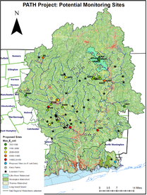
Monitoring Locations
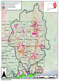
Eastern Connecticut which includes portions of Windham, New London, and Tolland Counties. This area coincides with the towns serviced by the Eastern Connecticut Conservation District (ECCD), These towns include Andover, Ashford, Bozrah, Brooklyn, Canterbury, Chaplin, Columbia, East Lyme, Eastford, Franklin, Griswold, Groton, Hampton, Killingly, Lebanon, Ledyard, Lisbon, Mansfield, Montville, New London, North Stonington, Norwich, Plainfield, Pomfret, Preston, Putnam, Scotland, Sprague, Sterling, Stonington, Thompson, Union, Voluntown, Waterford, Windham and Woodstock.
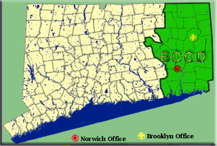
Towns in Connecticut that receive services from the ECCD.
|
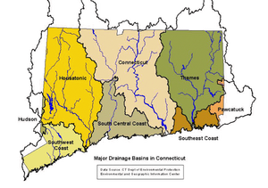
Major drainage basins in Connecticut including the Thames major basin.
|
This area generally coincides with the 1,474 square mile Thames River watershed of which 1,162 square miles are in Connecticut. In addition, the project area includes Southeast Coastal watersheds in Connecticut that drain directly into the Long Island Sound.
|
|
|